Mtirala National Park is situated between the municipalities of Kobuleti, Khelvachauri, and Keda, located 25 kilometers from Batumi and 27 kilometers from Kobuleti. Spanning 15,580.78 hectares, it is one of the region's largest natural and recreational zones. The park is centered around Mount Mtirala, which rises 1,335 meters above sea level and stands as the wettest place not only in Georgia but in all of Europe. Heavy rainfall is exceptionally frequent here, and thick fogs often blanket the area—which is precisely why the mountain was named "Mtirala" (meaning "The Crying Mountain" in Georgian).
The territory of Mtirala National Park is exceptionally rich in flora and fauna. Within its chestnut groves, beech woods, and mixed Colchian forests, visitors can encounter rare, endemic species of the Adjara-Lazeti region, including several listed in Georgia’s "Red List" of protected species. These include Caucasian epigaea (Epigaea gaultherioides), primroses (furisula), Medvedev birch, and the unique evergreen "shkeri" (Rhododendron) bushes characteristic of the Colchis region. Due to its distinctive, ancient Colchian forests, Mtirala National Park is inscribed on the UNESCO World Natural Heritage List.
Mtirala is equally rich in fauna, boasting a diverse array of animal and bird species. For those passionate about birdwatching, the park offers an unforgettable experience, as it serves as a crucial migration corridor for various birds of prey.
To enhance the visitor experience, the park features the "Rope Park," an eco-educational and adventure attraction. Visitors can also enjoy horseback riding, hiking, and specialized scientific tours.
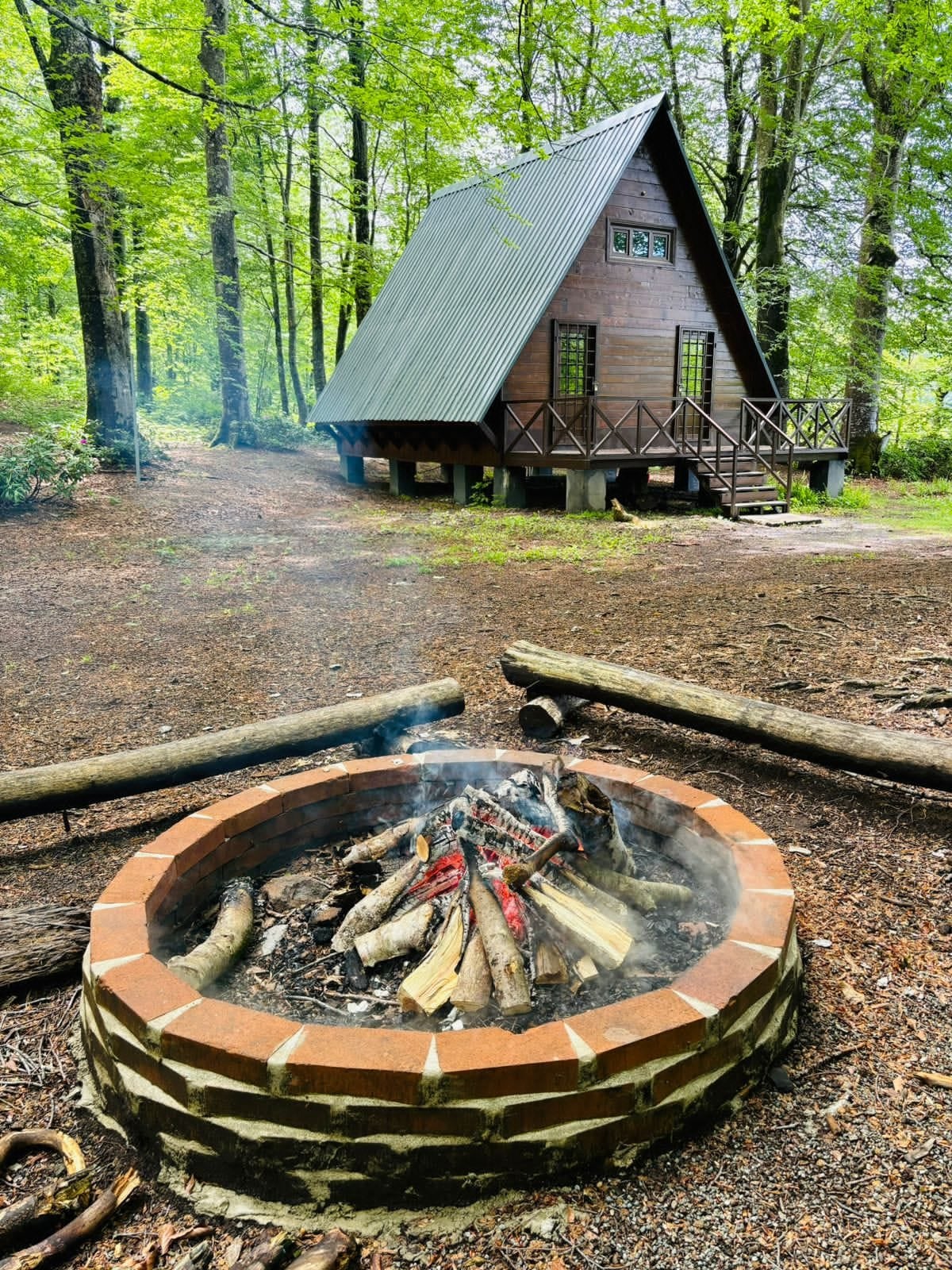
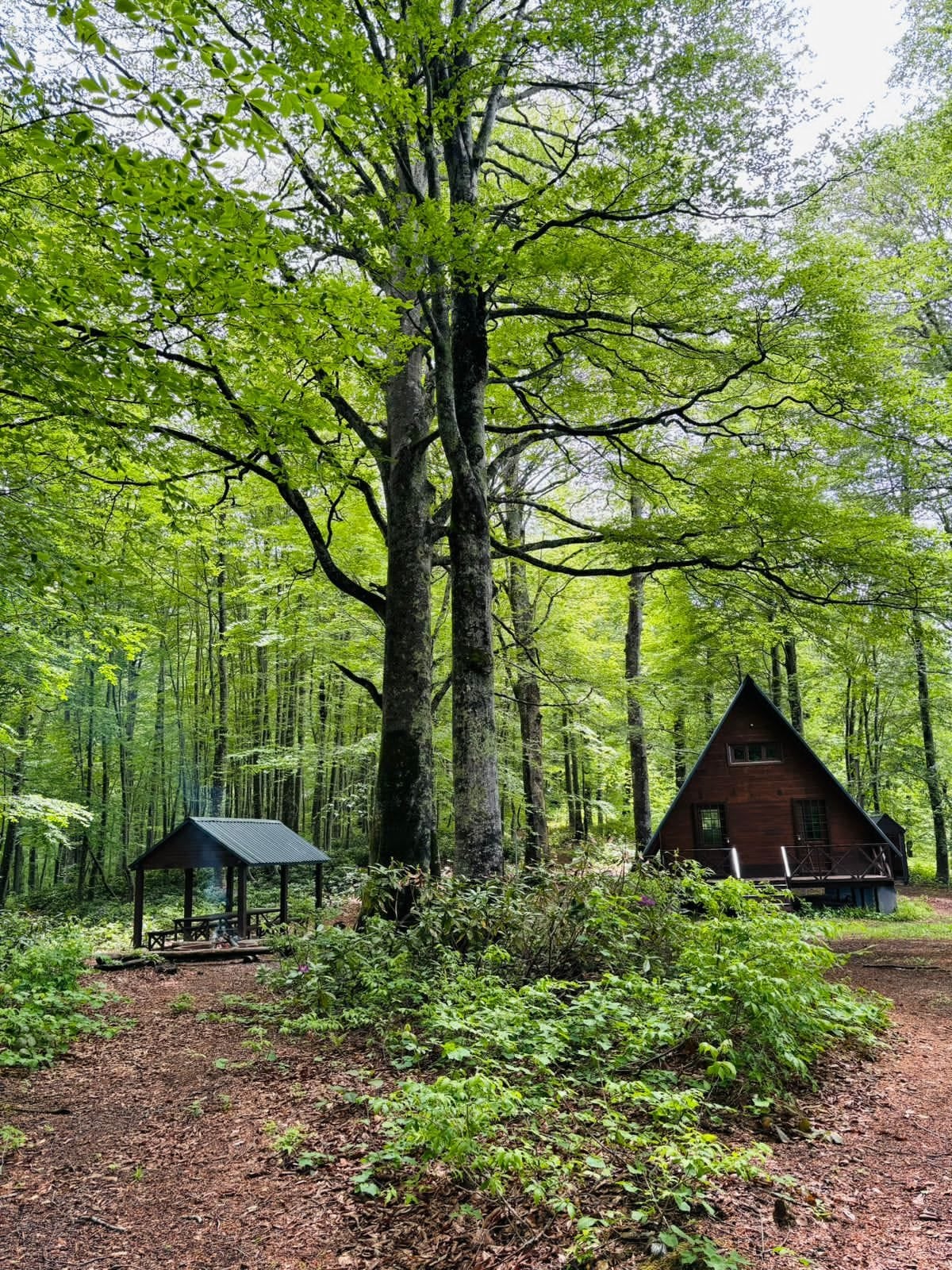
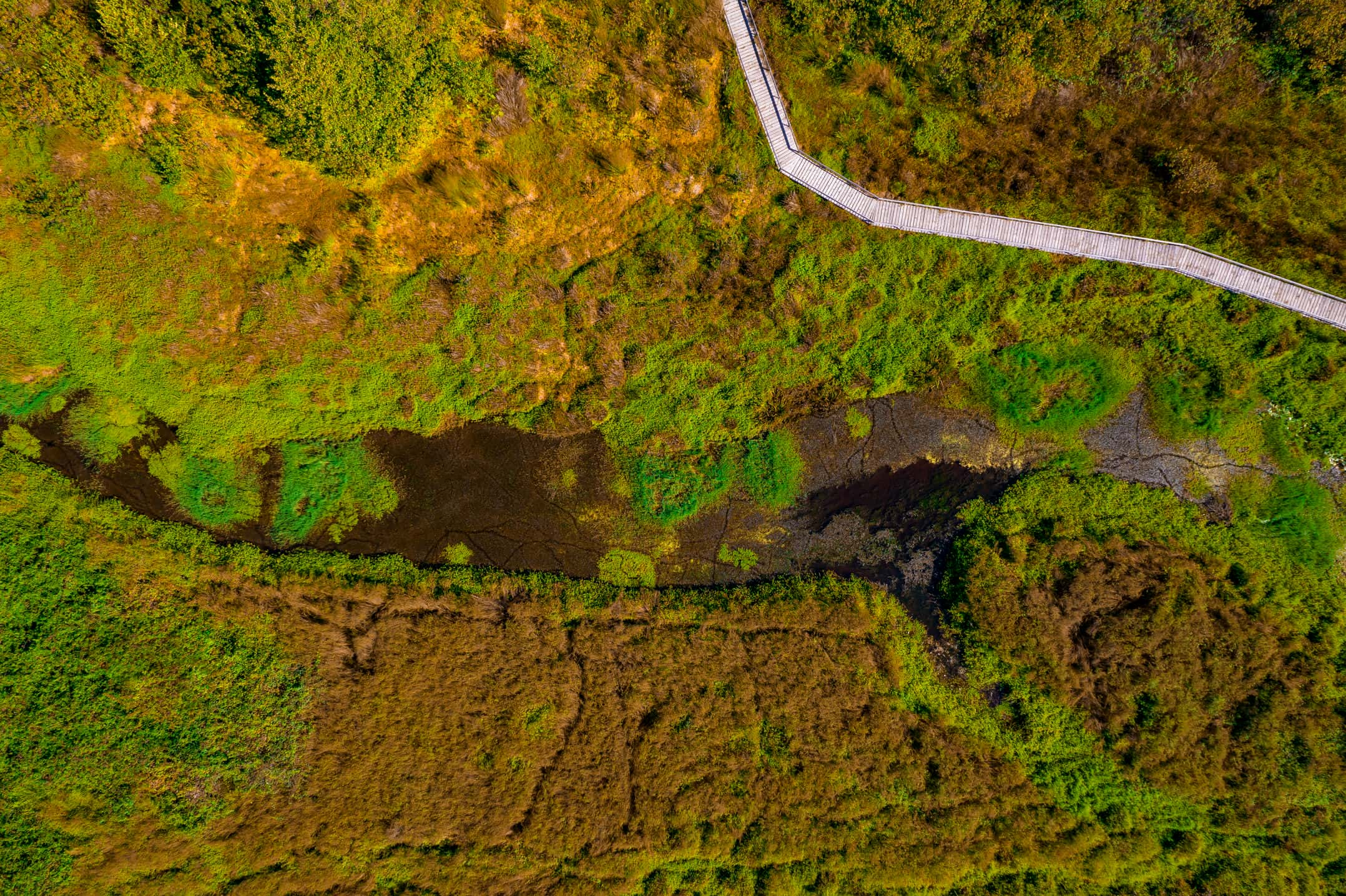
Hikers can choose between one- and two-day tourist routes on Mtirala. The trails are clearly marked and well-equipped with dedicated areas for picnics, camping, and campfires. A tourist shelter is located at the 9th kilometer of the trail, providing a convenient place to rest and spend the night.
There are two main marked and well-equipped trails within Mtirala National Park: the Tsablnara Trail (7 km, 1 day) and the Tsivtskaro Trail (16 km, 2 days). Additionally, the Two Mountain Trail connects nearby transitional routes with one another.
Tsablnara Trail
-
Distance: 7 km
-
Duration: 1 day
-
Type: Hiking
-
Difficulty Level: Easy
Situated at an altitude of 265 to 442 meters above sea level, this educational and recreational route begins in the village of Chakvistavi. It highlights two major natural attractions: a spectacular waterfall and a scenic lake. The trail is made even more captivating by its dense undergrowth, which includes cherry laurel (tsqavi), Pontic rhododendron, Ungern rhododendron, Colchian boxwood, and various types of ivy.
The main highlight of the trail is an 18-meter-high waterfall hidden amidst Colchian boxwood and ivy, as well as a natural lake formed by the swirling river between the cliffs. A dedicated campsite has been set up near the waterfall in the heart of nature, while picnic areas and campfire spots are located near the lake.
Visitors looking for an adrenaline rush can take advantage of the park's extreme adventure services, including a zipline that allows riders to glide down a 200-meter-long rope suspended at an angle between tall trees. The park also features the "Rope Park," a 209-meter eco-educational obstacle course consisting of 17 challenges split into 67-meter and 142-meter sections.
Tsivtskaro Trail
-
Distance: 16 km
-
Duration: 2 days
-
Type: Hiking
-
Difficulty Level: Moderate
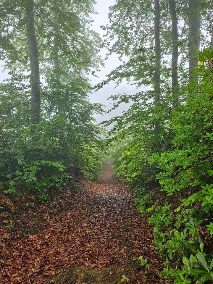
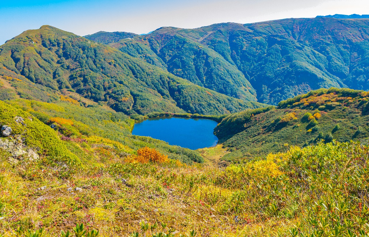
This two-day route begins at the visitor center (260 meters above sea level) and ascends to an altitude of 1,250 meters. The initial section passes through a lush, broad-leaved mixed forest of the Colchian type, which gradually transitions into a dominant beech forest near the end of the trail. In addition to the rich vegetation, hikers may encounter brown bears, roe deer, martens, badgers, lynxes, and other wildlife, or spot their tracks.
Natural mountain springs flow along the route. The trail is equipped with a tourist shelter that accommodates up to eight people, a restroom, fire pits, and picnic areas. Most of this route passes through pristine, untouched, dense forest, making it a frequent site for scientific observations of local flora and fauna.
Two Mountain Trail
-
Distance: 33.5 km
-
Duration: 3 days
-
Type: Hiking
-
Difficulty Level: Moderate
This 33.5-kilometer cross-country trail spans the territory of Mtirala National Park, connecting three villages in the Keda Municipality (Zundaga, Makhuntseti, and Pirveli Maisi) with the village of Korolistavi in the Khelvachauri Municipality. Hikers can start the route either from the center of Ortabatumi village or from the Batumi-Akhaltsikhe highway near the villages of Zundaga, Makhuntseti, and Pirveli Maisi.
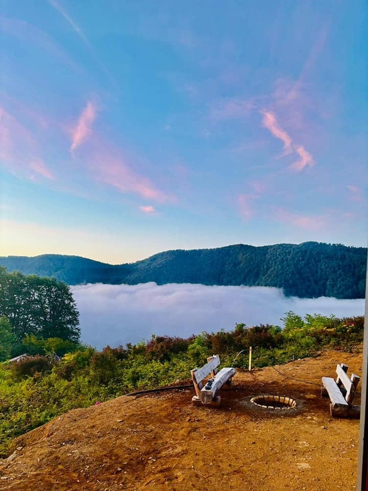
From all of these starting points, the trail leads through beautiful beech groves up to the picnic and camping areas on Mount Mtirala, located at an altitude of 1,263 meters above sea level. The primary highlights of this route are the Big and Small Mtirala mountains, breathtaking panoramic views, pristine Colchian-type forests, natural springs, and waterfalls. Wildlife such as brown bears, roe deer, martens, badgers, and lynxes—or their footprints—can also be spotted along the way.
The Two Mountain Trail features five tourist shelters equipped with fireplaces and restrooms for visitors. Hikers also have the option to transition from this route onto the Tsivtskaro Trail, where they can stay at the 8-person Tsivtskaro shelter, and there is also a picnic pavilion designed for 20 people. Dedicated tent camping sites are available near all shelters along the Two Mountain Trail.
Contact info:
Share
Similar places
Kintrishi National Park
National parks and gardens Kobuleti
Kobuleti Protected Area Ispani
National parks and gardens Kobuleti