Route details:
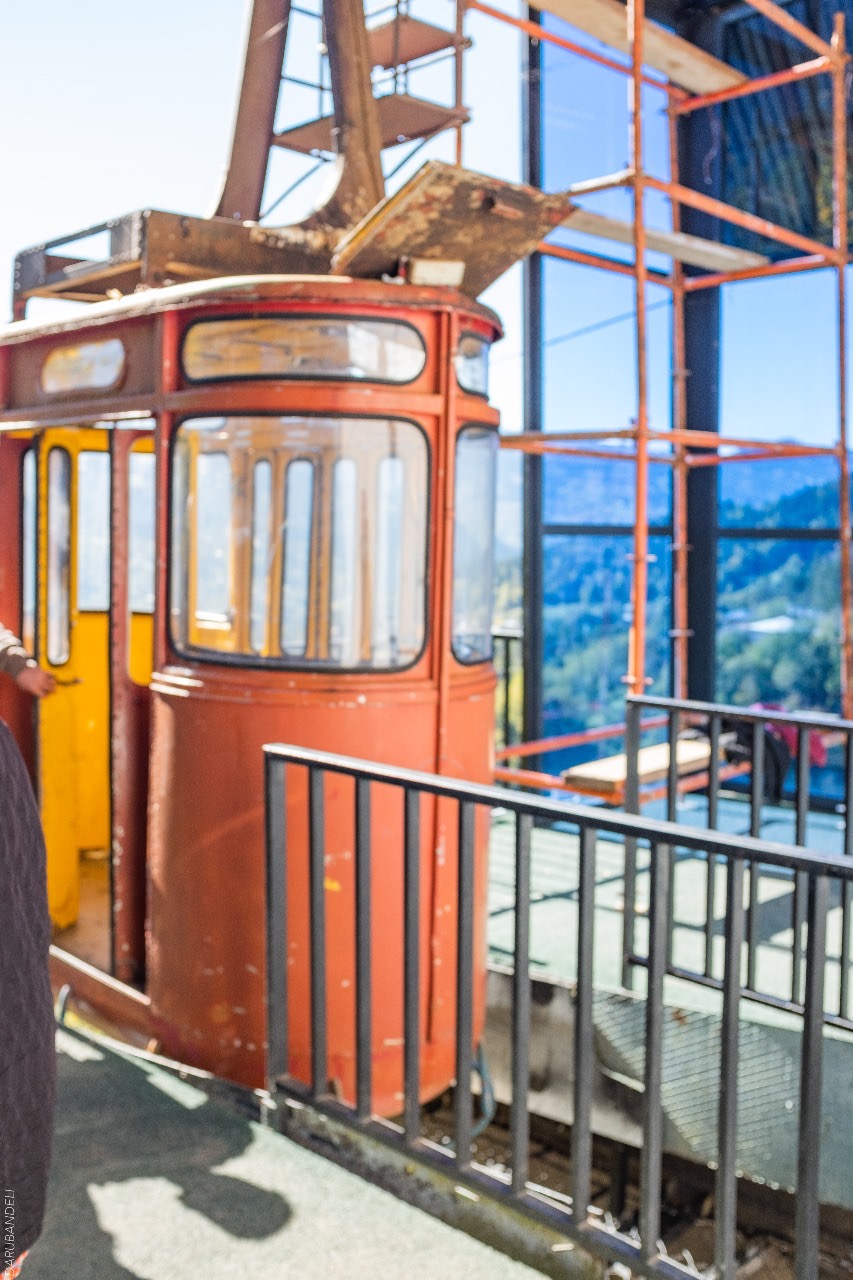
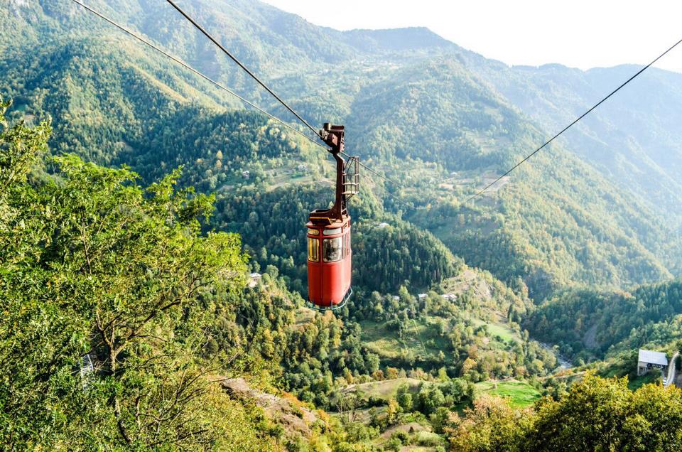
The route starts from the center of Daba Khulo, from where we take a cable car to the village of Tago. You can get to the village by car, however, in addition to transportation, this cable car also has the function of an attraction. It is a ropeway without a support structure, which is the second largest in Europe. The length of the cable car is 1719 m, and the height is 280 m.
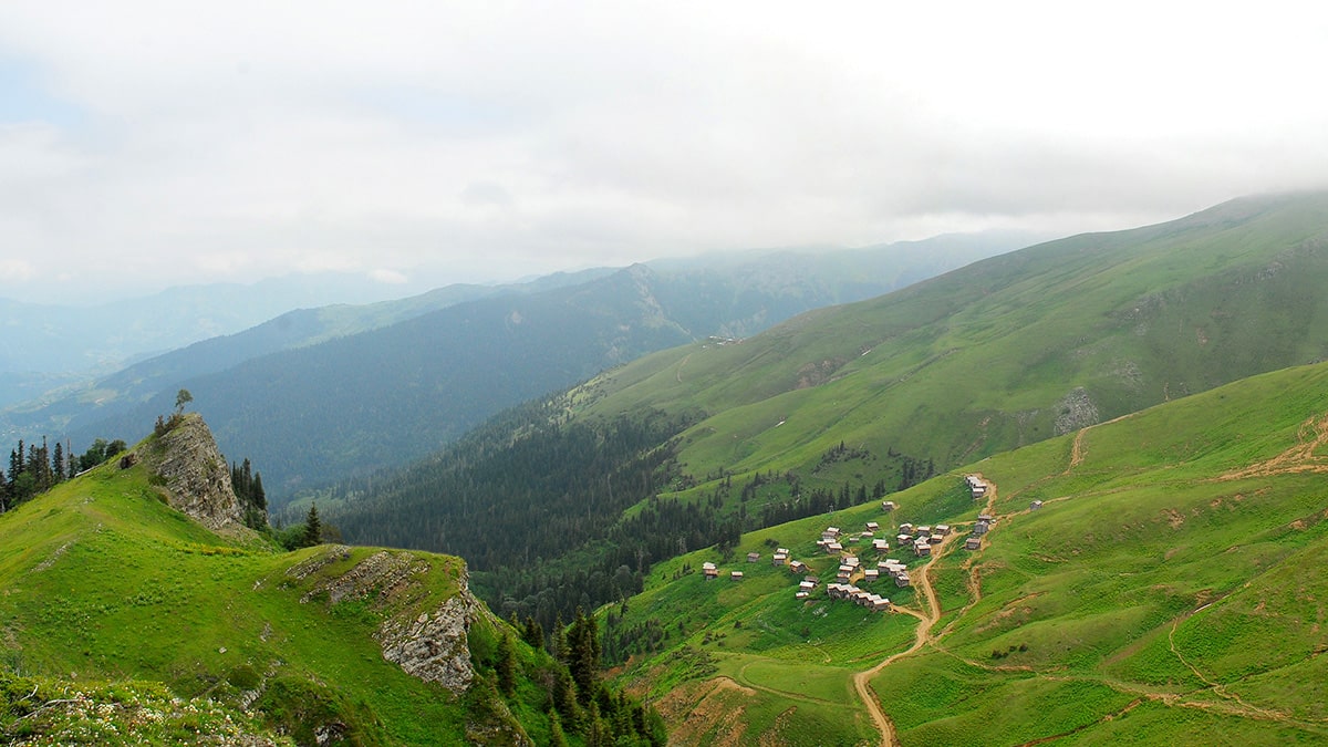
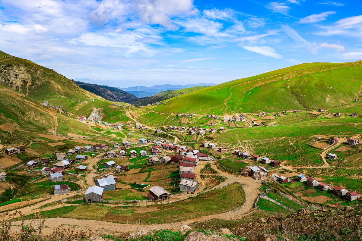
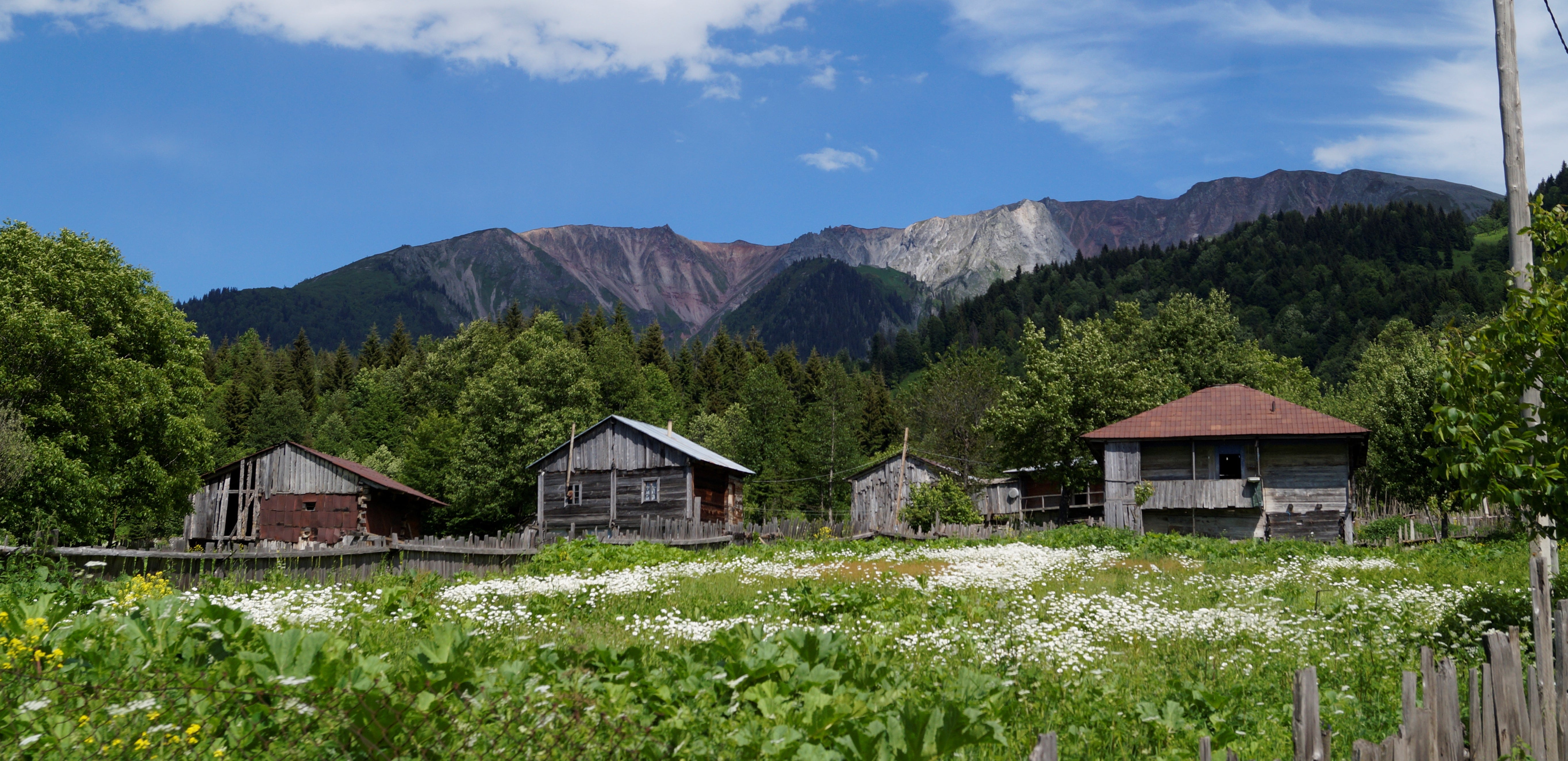
After passing the footpath in Tago, we take the village dirt road that leads to the upper part of the village. Here the road is divided into two: on the right side there is a road, if you follow it, you will come to the Argineti ridge, where it is possible to move with high-speed vehicles, and the road on the left side follows the forest massif with serpentines. Currently, in some places, the road is blocked due to landslides, which makes it impossible to move the vehicle. Footpaths lead from the forest to the fields, which are used by shepherds.
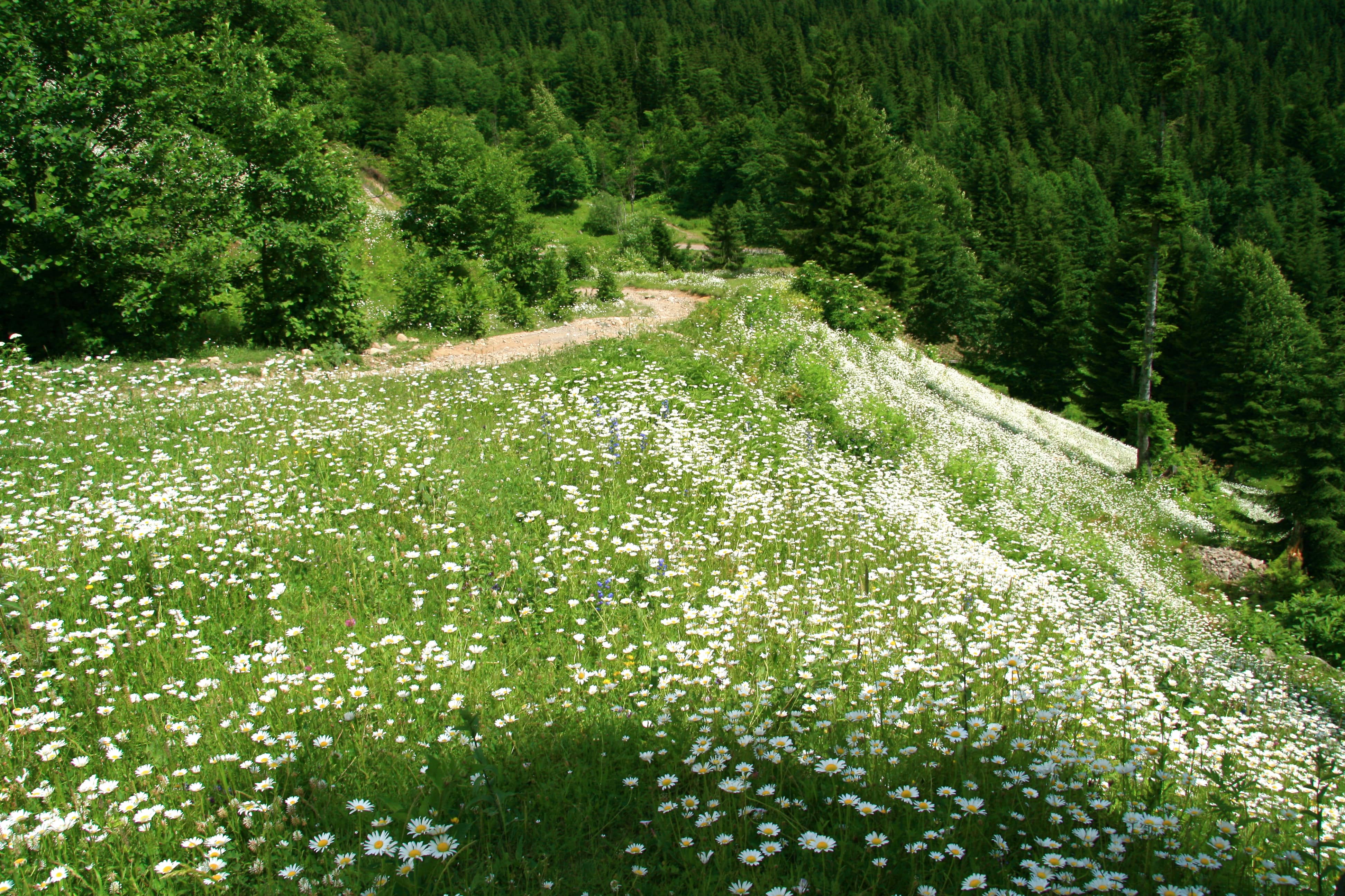
After crossing the field, we return to the above-mentioned driveway, which zigzags along the slope. Going down from here on the right side, the driveway stops and goes to the field, which is fenced and is the property of the locals. The footpath leads us back to the road, with beautiful views ahead. The right road leads to the lake, which the villagers use for drinking water for their cattle and which almost dries up in the summer. Drinking water is not a problem on the trail, there is often a regular spring. From the lake, we take the old road to Argineti Ridge.
Tourists are not allowed to travel here in winter. That is why the route is recommended only from late spring to early autumn.
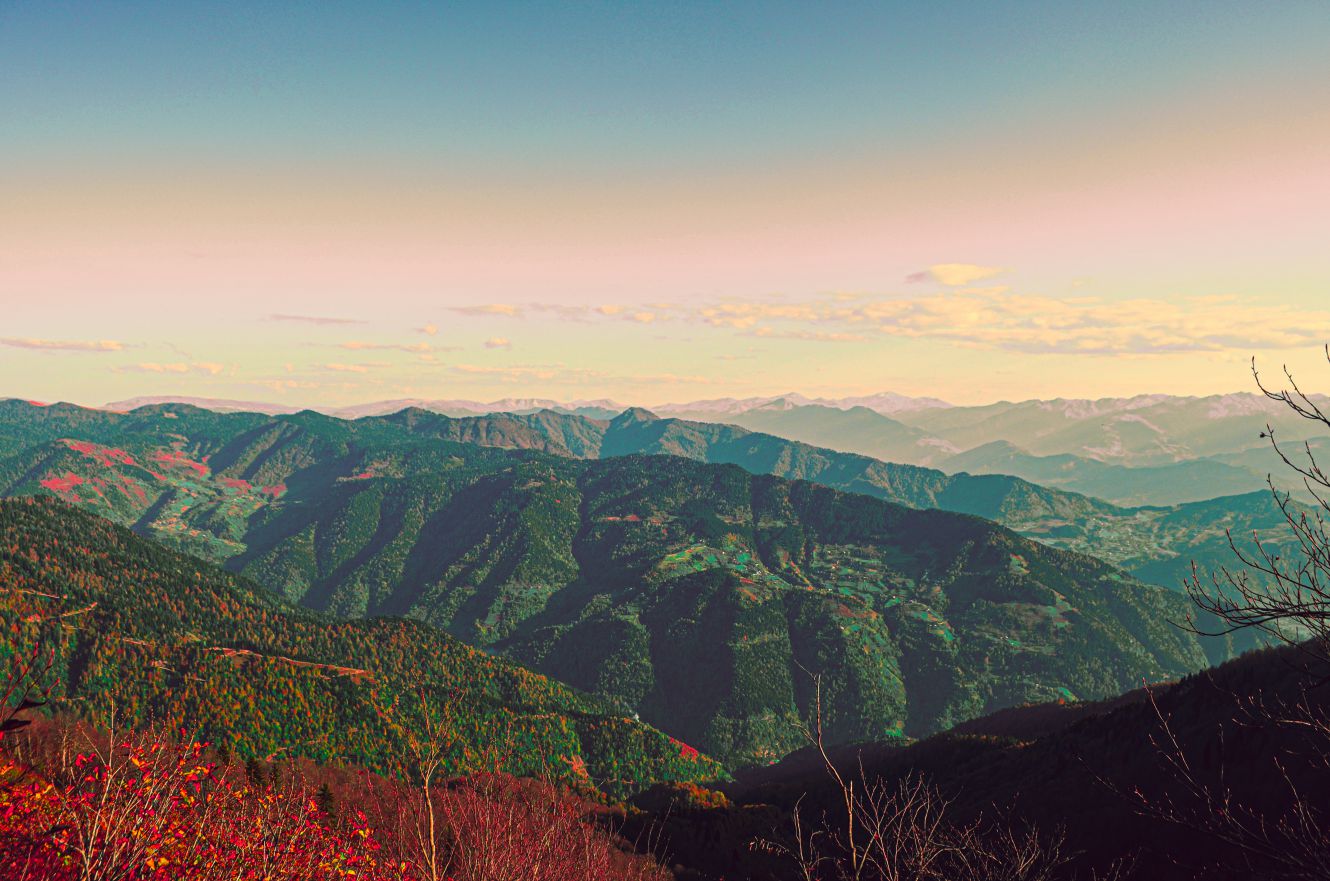
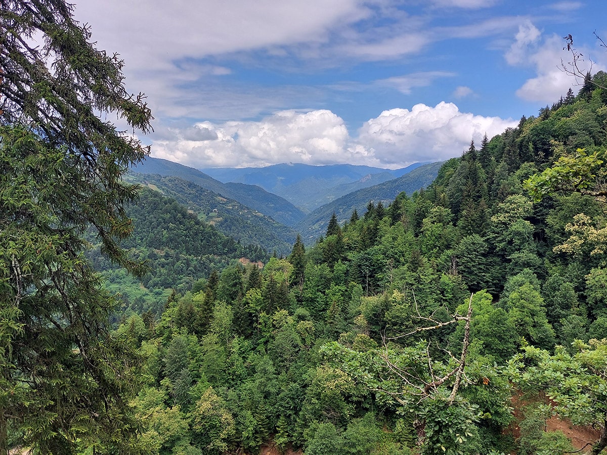
As you climb the Argineti Ridge, you will find panoramic views. From the ridge, we enter the forest on the right side, where the path ends and we have to explore. Then we will build the old road, which we lose from time to time. The road is almost obliterated and covered by a massif of forest, which we also take to the Argineti ridge, to the field (near the masts), from where we pass in 2 km to the village of Iakobidze.
If desired, the route ends here, or continues by road, which takes us to the village of Ghurta.
The road leading to the village of Iakobidze is damaged and can be moved only by a high-speed car or on foot. As soon as we enter the village, we will build a concrete paved road, where it is possible to move even with light vehicles. Soon we find a waterfall, after visiting which we return to the road and continue straight, from where we continue to Tsikhvara Castle. The footpath leading to the castle is currently in private territory. On the way to the fort, there is a small river with a wooden bridge over it and it is easy to cross. It is quite difficult to get to the Tsikhvara castle because the ground on the eastern slope is constantly damp, the roots of the plants are weak and the foot may slip. Only the ruins of the castle remain today. Returning from here, we will follow the concrete driveway through the house to the Khulo-Adigeni connecting road.
Share
What can I see on the route?
Khulo Tago cable car
Attraction Khulo
Accommodation on the route

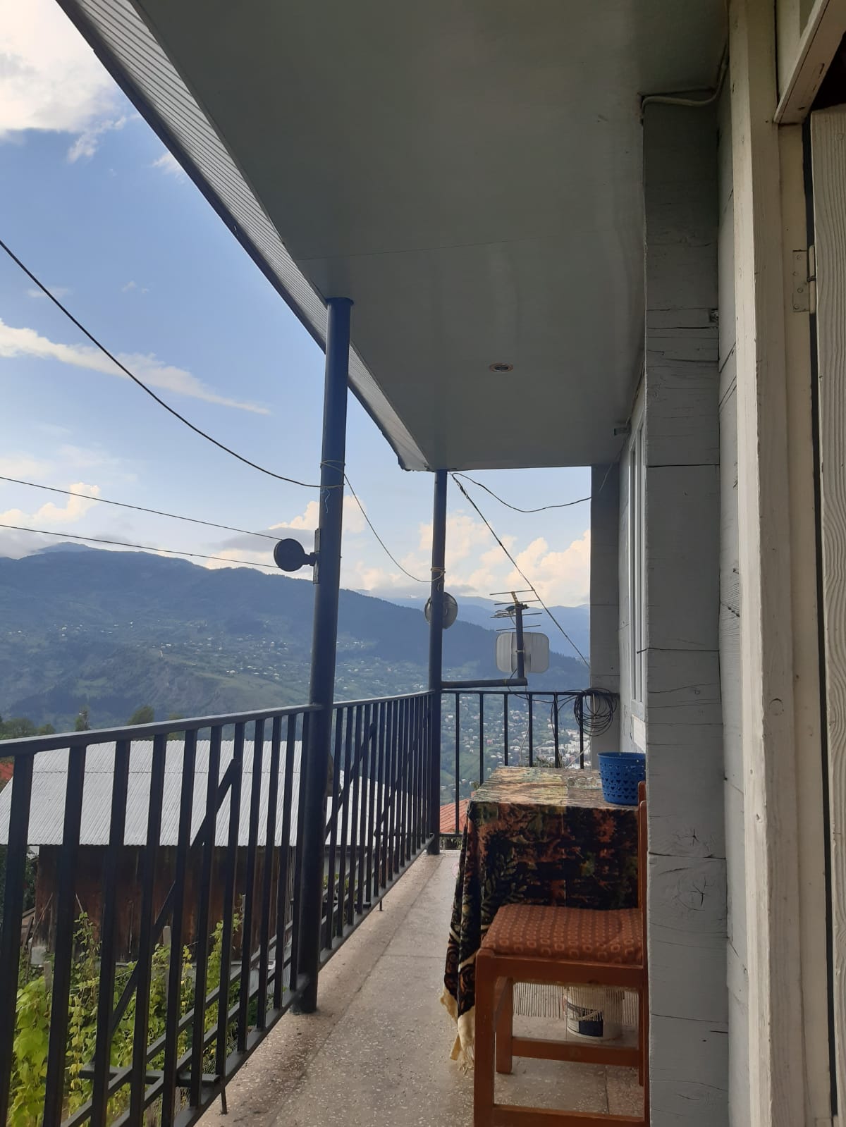
Aslan Tsetskhadze's Family hotel
Guesthouse Khulo
Guram Tsetskhadze's Family hotel
Guesthouse Khulo
zurab ceckhladze
Guesthouse Khulo
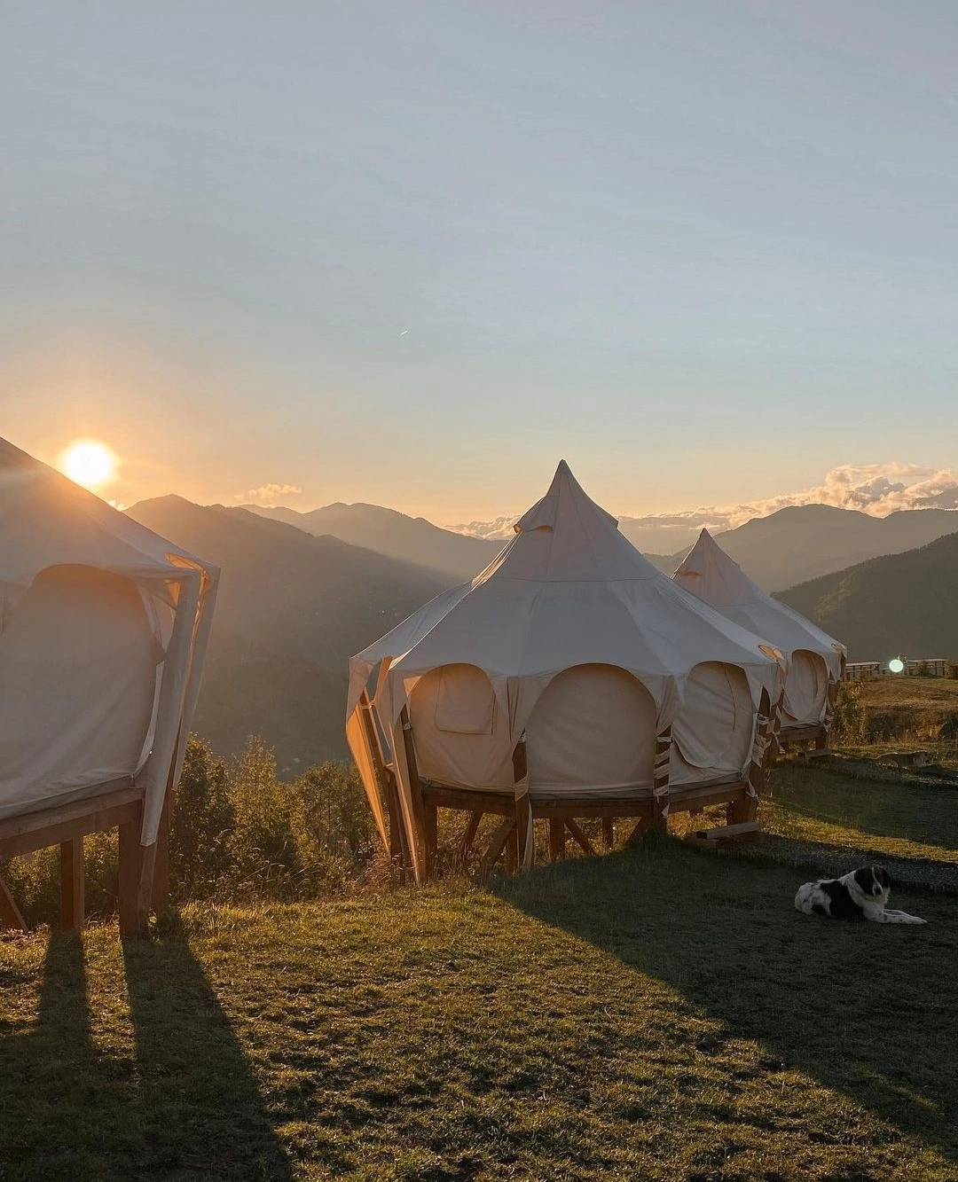
Glamping Tago
Glamping Khulo
Guesthouse Guja Tsetskhladze
Guesthouse Khulo
Similar routes
Gordzhomi Gorge - Mount Leknari - Bakhmaro resort
Adventurous Khulo
Tago –Skhalta Route
Adventurous Khulo
Khikhadziri - Shuamta Lakes - Khikhani Fortress - Khikhadziri
Adventurous Khulo
Goderdze Pass-Almas Yaila-Natelati Yaila - Village Agara
Adventurous Khulo