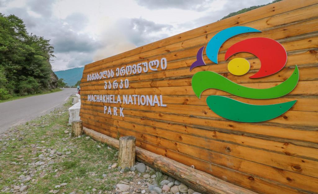
Machakhela National Park is located in the Machakhlistsqali Gorge of Khelvachauri Municipality, at an altitude of 300–350 meters above sea level, 30 km from Batumi.
Established in 2012, the park covers a total area of 8,733 hectares and features dense chestnut, beech, hornbeam, and alder forests. Rare and relict species such as Colchian boxwood, chestnut, Colchian hazelnut, Georgian walnut, Hungarian oak, yew, and elm can be found here.
Within the territory of Machakhela National Park, visitors will also discover the ruins of ancient fortresses, classic stone arched bridges, historic wine cellars, and traditional whitewashed wine presses.
The park features two primary hiking trails integrated with vehicle roads: Mtavarangelozi and Kokoleti. Each offers a distinct experience. The picturesque forests, cascading waterfalls, and scenic landscapes of the Machakhela Gorge are sure to leave a lasting impression.
Mtavarangelozi (Archangel) Trail
(Trail length: 9 km | Duration: 4 hours)
Route:
The driving route (5 km) starts in the village of Sindieti—located 24 km from Batumi, just before the Visitor Center—and ends at the yard of the village's last resident.
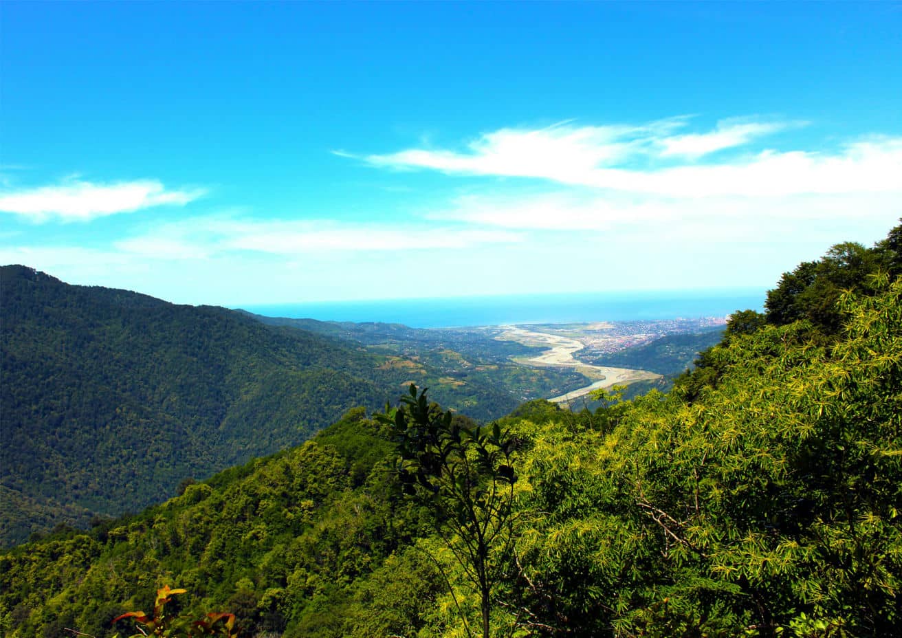
It is also possible to reach Mount Mtavarangelozi directly from the National Park Visitor Center (Adjarasagharti village) via a 6.6 km road. From the summit of Mount Mtavarangelozi, hikers are rewarded with beautiful views overlooking Batumi and the Machakhela Gorge.
-
Difficulty level: Intermediate
Kokoleti Trail
(Trail length: 15 km | Duration: 6 hours)
Route:
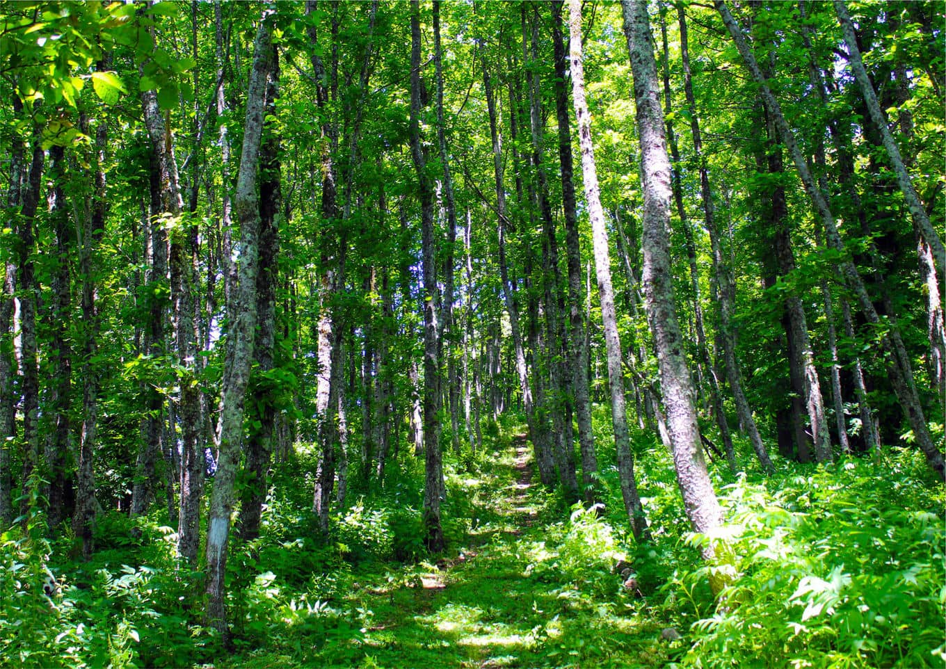
The driving route starts at the Visitor Center, continues for 9 km to the last inhabited yard in the village of Kokoleti, and transitions into a 6 km hiking path through a virgin Colchian forest. Please note: because the Kokoleti Trail runs along the state border, visitors must arrange a permit with the Machakhela National Park Administration at least 5 working days prior to their visit.
Attraction:
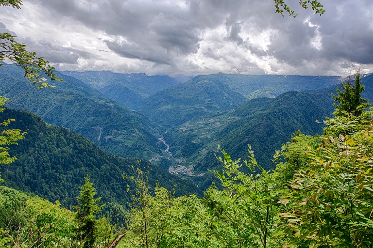
The Kokoleti panoramic viewpoint, offering clear vistas of Turkey’s Camili Biosphere Reserve and the six historic villages of Upper Machakhela.
-
Difficulty level: Medium
Important Notes
The active tourist season in Machakhela National Park runs from May to October. Because certain routes enter strict border reserve zones, securing a permit through the park administration 5 working days in advance is mandatory.
While on the trails, visitors are strictly prohibited from:
-
Bringing firearms or any other items that may pose a threat to the environment;
-
Bringing pets into the park;
-
Damaging or picking plants, rocks, or fossils;
-
Catching, chasing, or harming wildlife;
-
Damaging park infrastructure or engaging in vandalism;
-
Collecting natural or cultural artifacts without a special permit;
-
Introducing non-native plant or animal species;
-
Moving rapidly in low-visibility conditions (heavy fog, dense brush, or tall grass);
-
Lighting fires outside of specially designated areas.
While on the trails, visitors are permitted to:
-
Move on foot or by vehicle along marked routes;
-
Conduct scientific and educational activities;
-
Use designated picnic and camping areas;
-
Light bonfires in specially designated areas;
-
Observe local flora and fauna;
-
Take photographs and record video.
The Machakhela Gorge follows the riverbank, offering numerous scenic picnic and resting areas. The valley is also home to several family-run guesthouses where visitors can relax in an authentic setting, experience the daily life of the locals, stay overnight, and taste traditional regional dishes.
Additional Information:
Visitor Service Center: (+995) 595 08 60 75